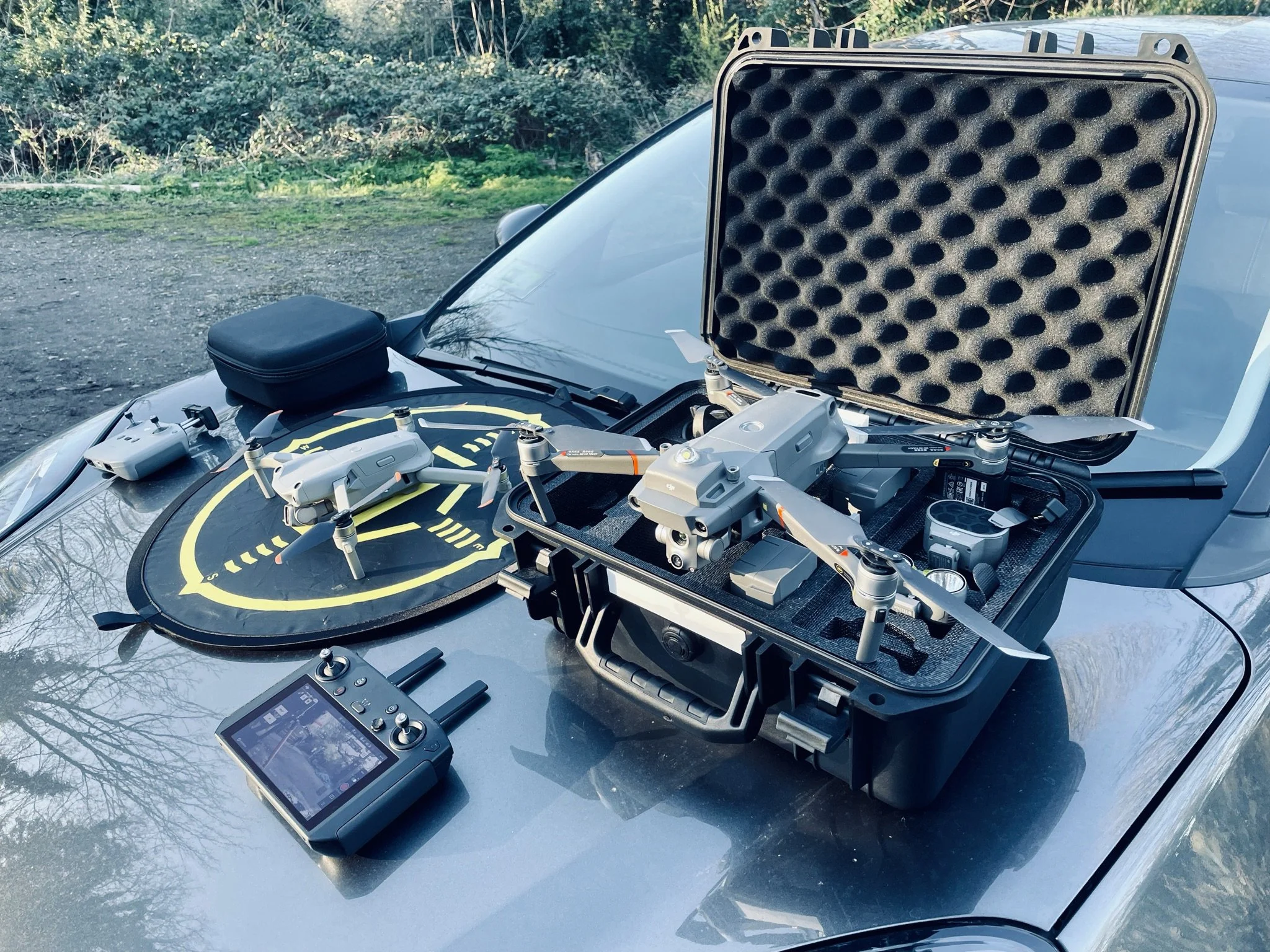
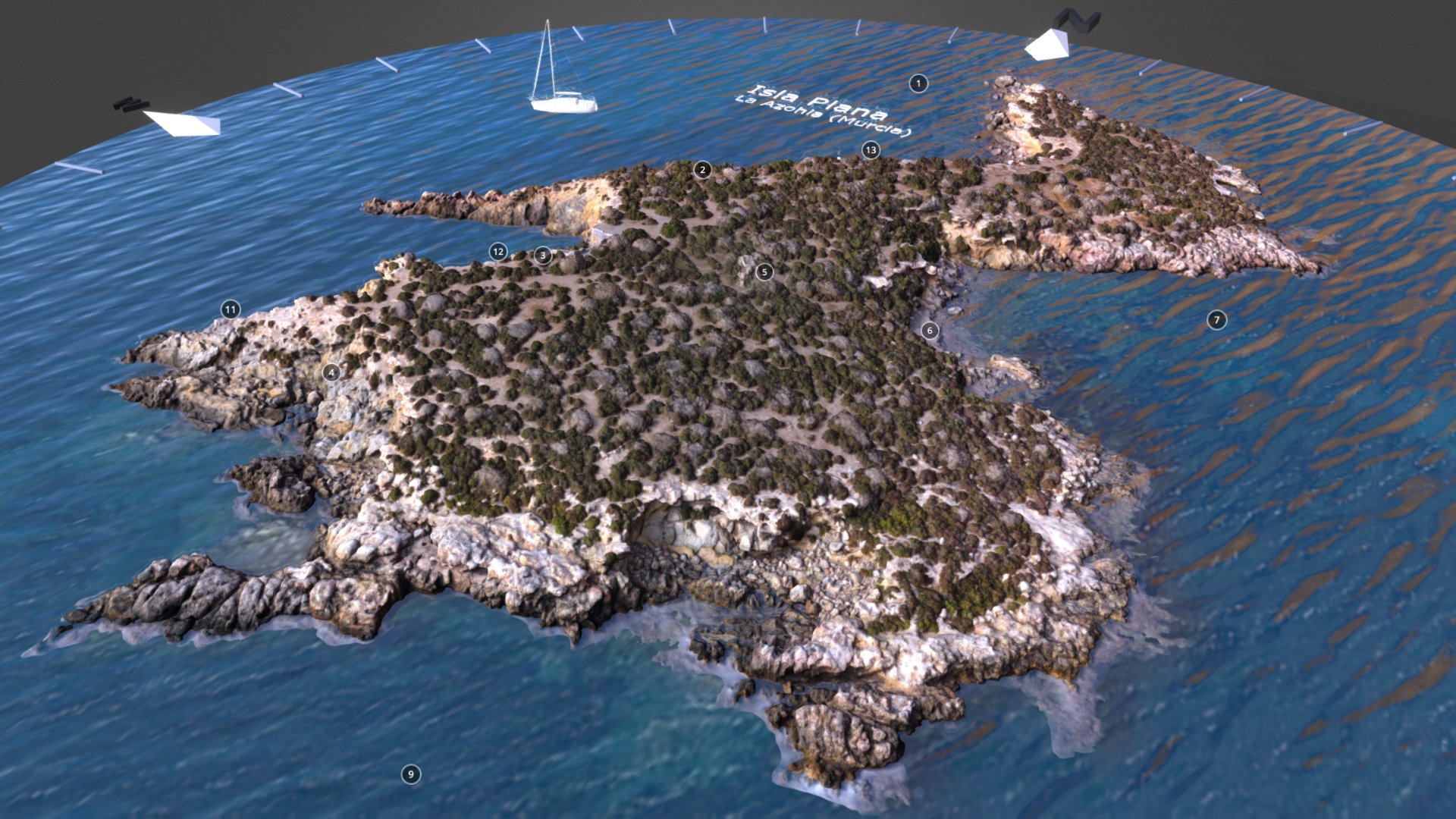
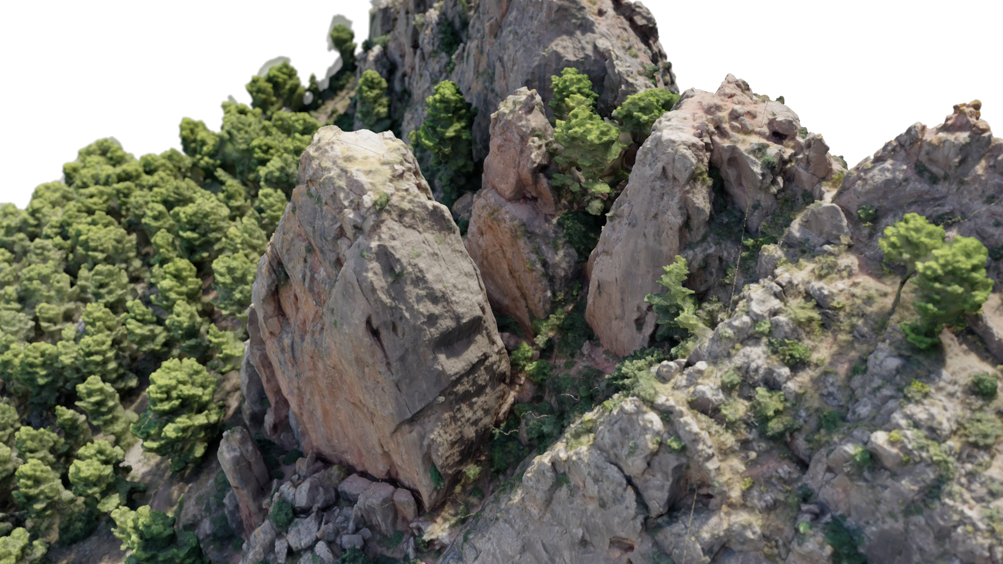
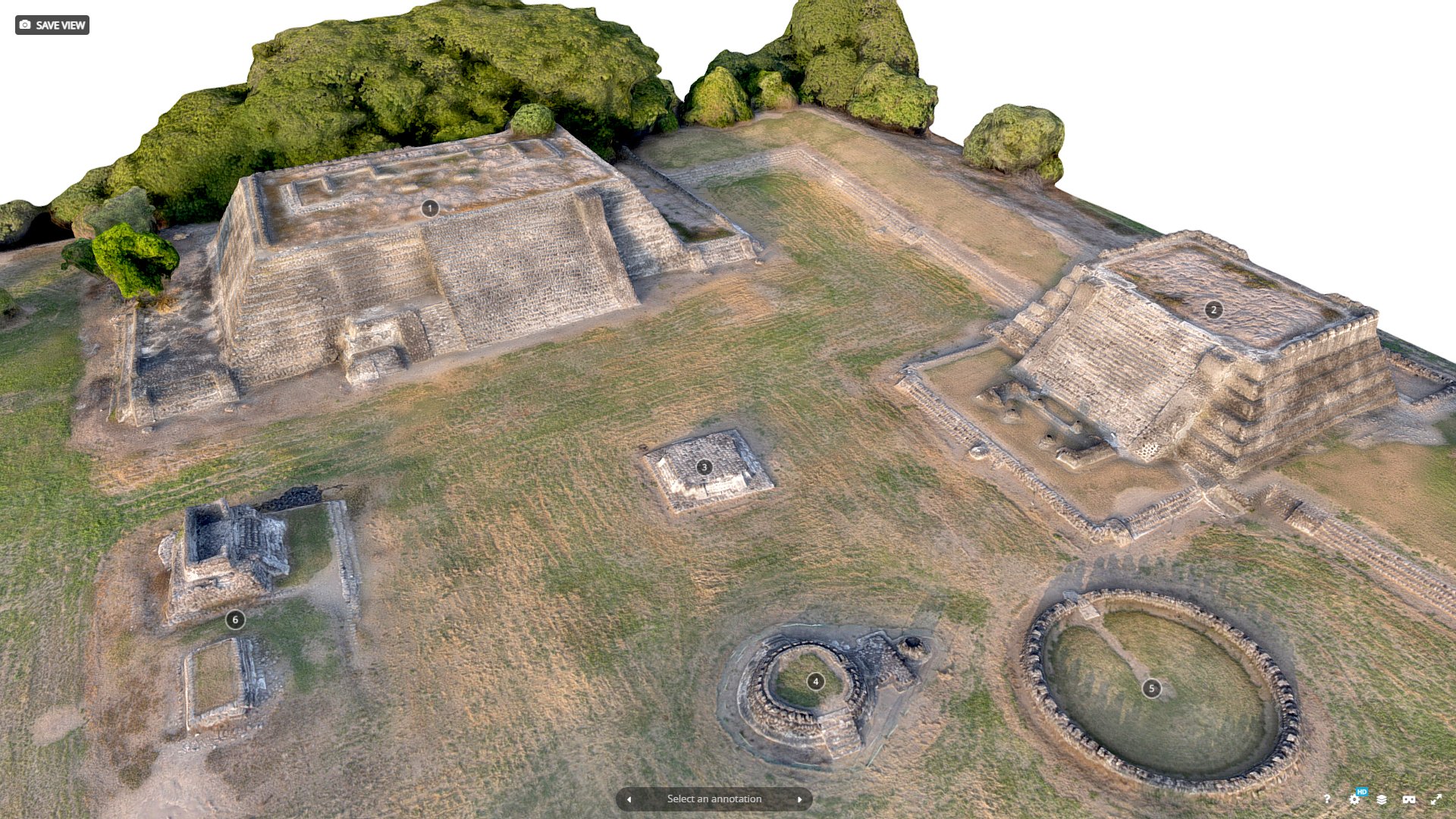
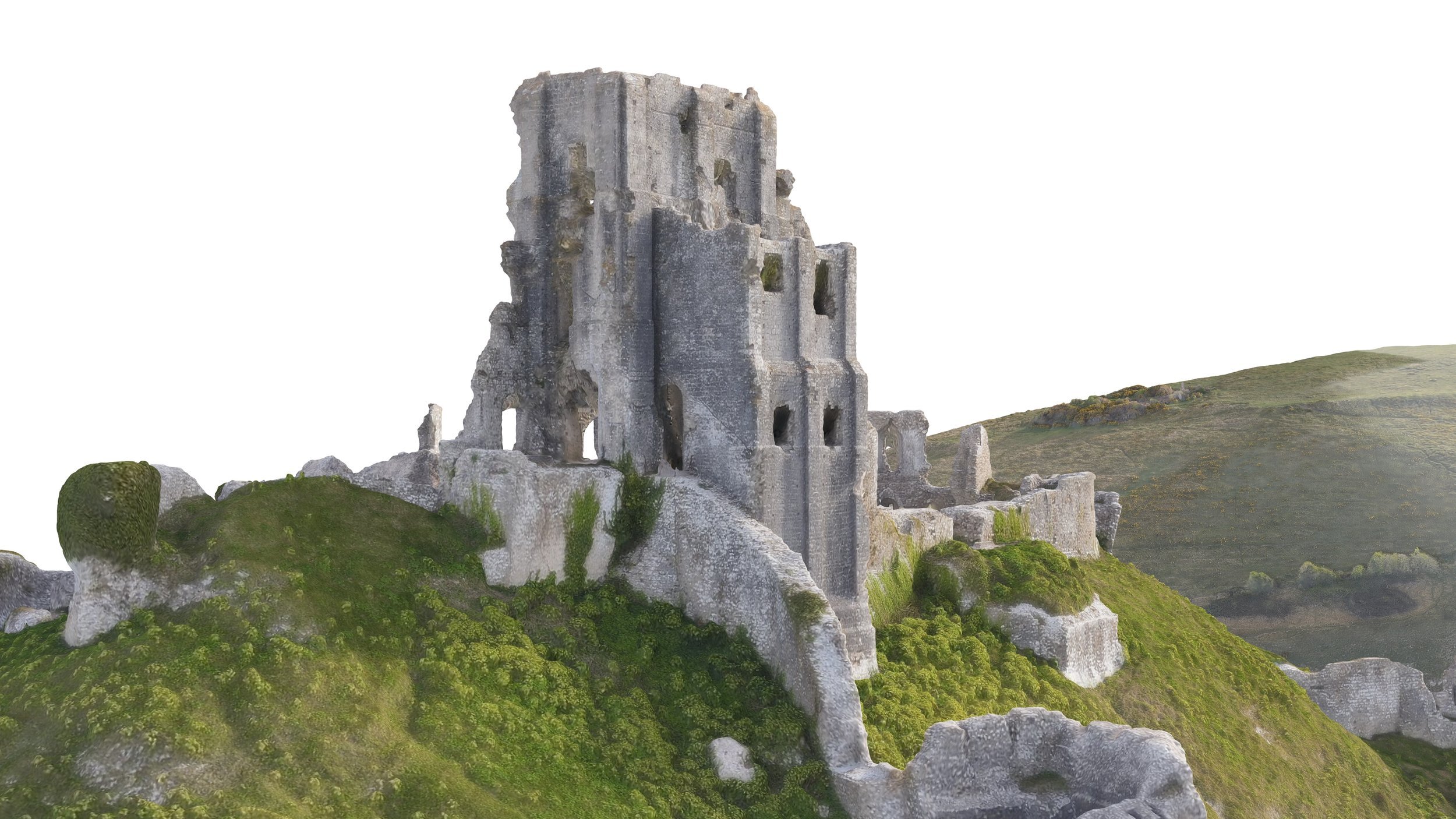
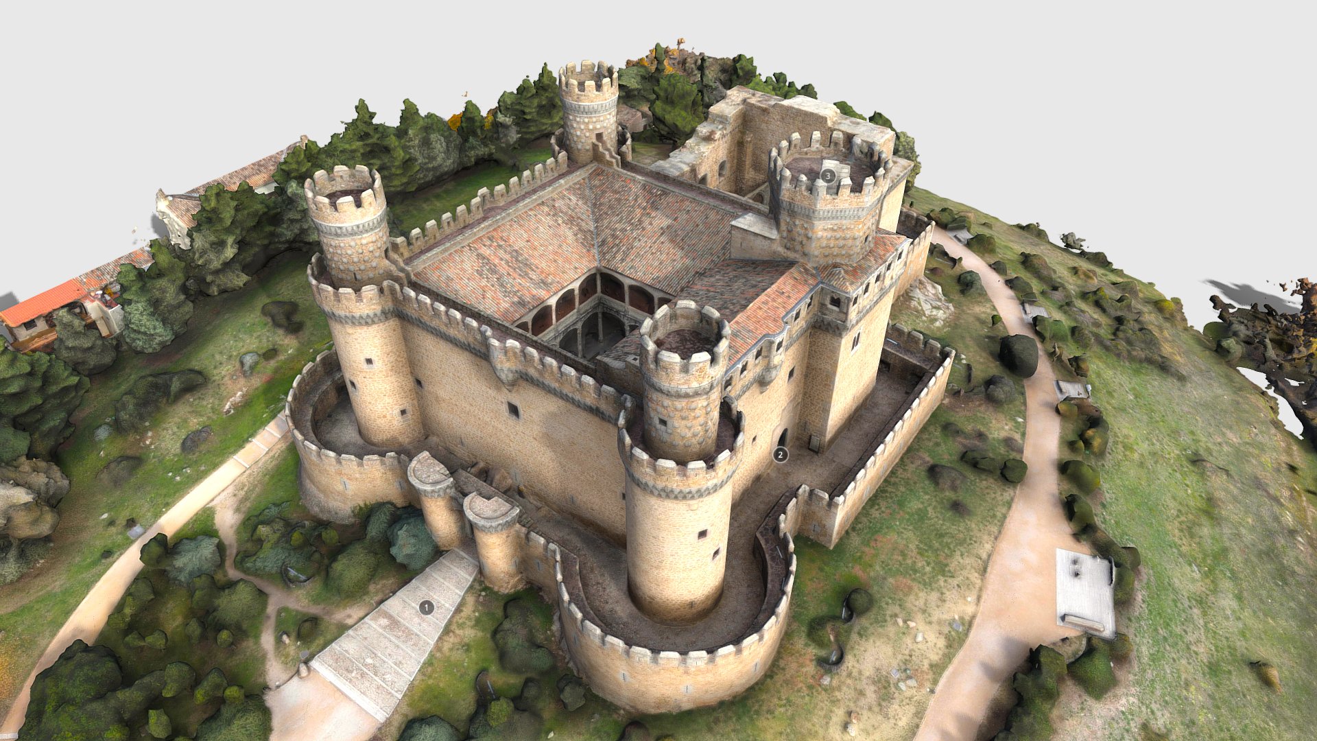
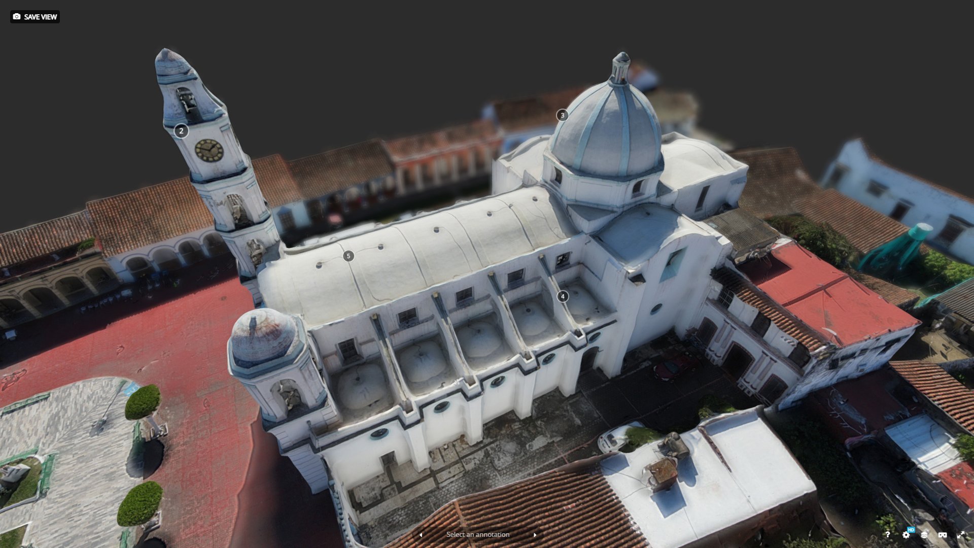
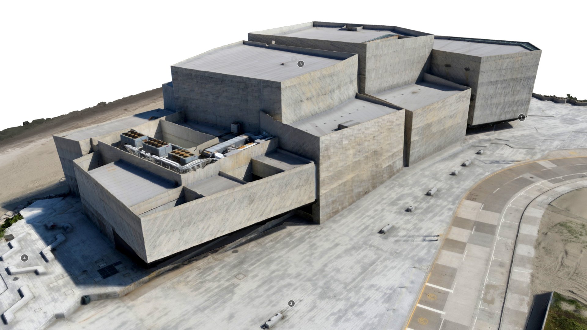
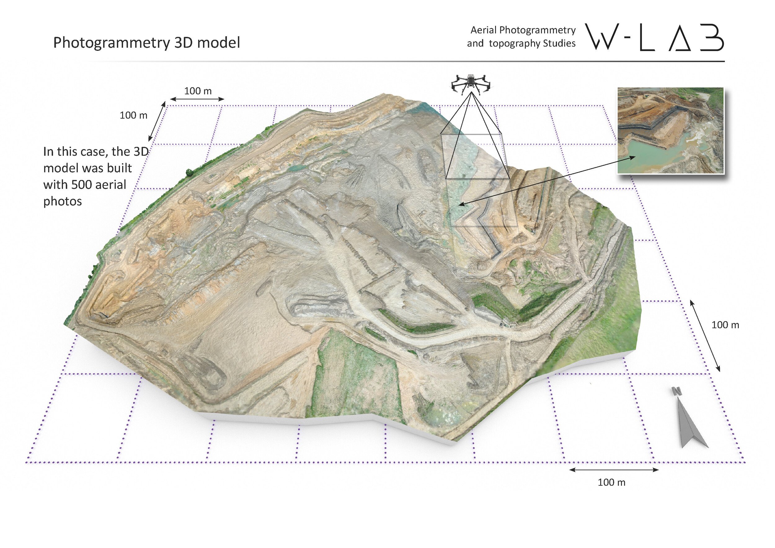
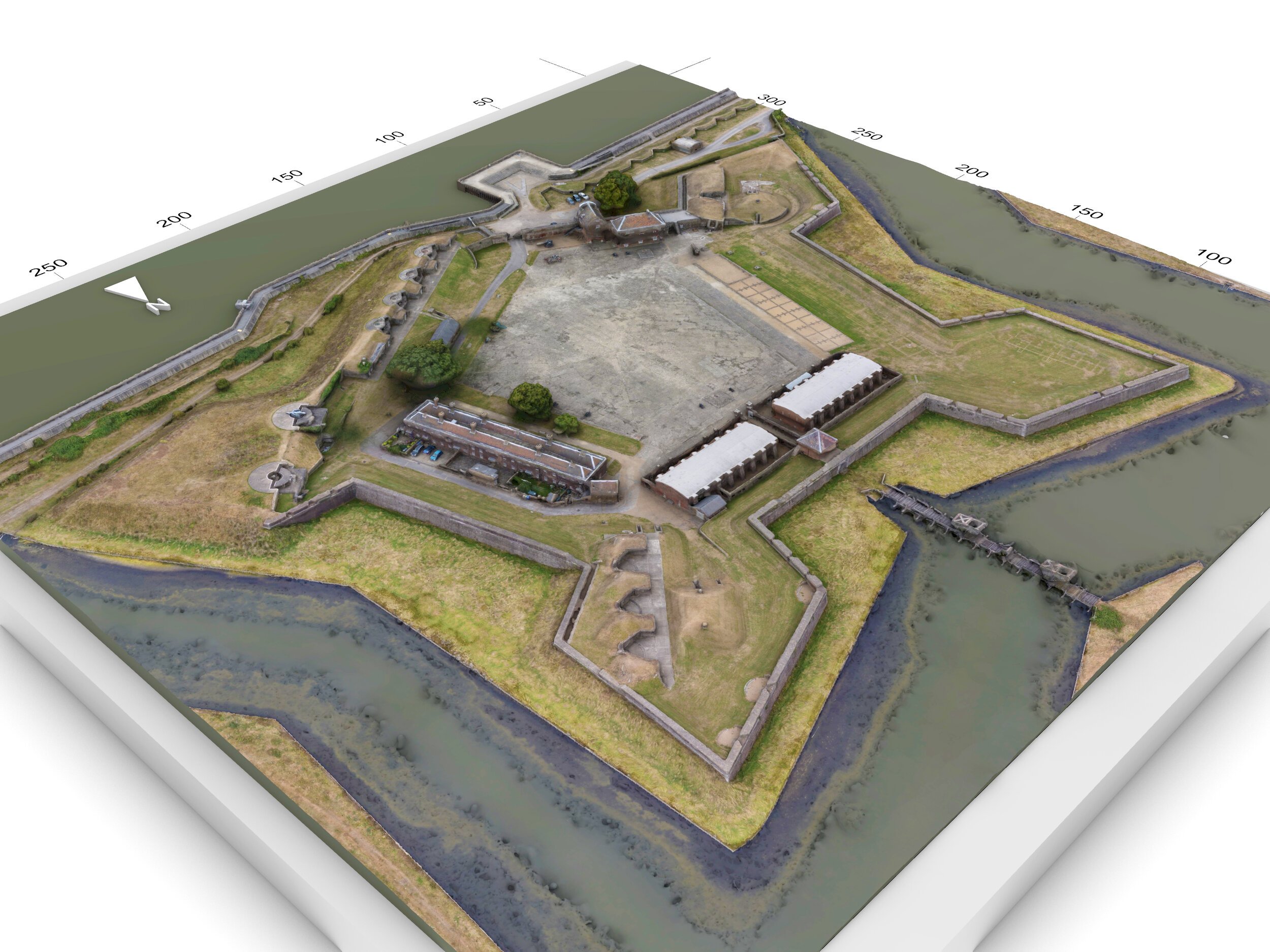
Photogrammetry surveys
We make use of Photogrammetry for a wide variety of applications, ranging from 3D context capture for Virtual reality content to Environmental monitoring and Heritage Building Preservations. Our expertise with thermography and visible image capture for mapping, allows us to keep track of construction sites, renewables installations and work for engineering and architectural companies that need surveying services for roofs, facades and other civil infrastructures.

Environmental monitoring
Our drone technology can help environmental protection organisms to gather accurate georeferenced data and study how climate or human action can affect landscapes and natural assets

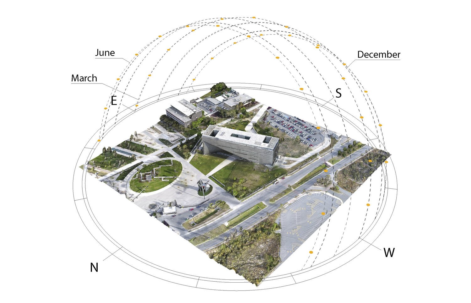
Construction Survey and site evolution
We help construction companies to save money and time following the evolution of their works, supporting them with aerial imagery and orthophoto maps

Solar Energy and renewables
With our fast drone photogrammetry workflow, we can assess the potential of built areas to harness solar energy and collaborate on the transition to renewable energy and CO2 reductions in the existing urban fabric.
Photogrammetry Projects Gallery

Thermographic survey
Thanks to the use of thermal cameras mounted on drones we can film and measure surface temperatures. With this technology, we can provide our clients with accurate information for the evaluation of Industrial installations, renewables, buildings thermal bridging, or even performing environmental monitoring tasks like areas affected by wildfires, and detection of hotspots.

Renewable’s installations
Thermal imaging allow us to see the PV cells behaviour allowing us to understand which ones could require maintenance due to malfunctioning or overheating
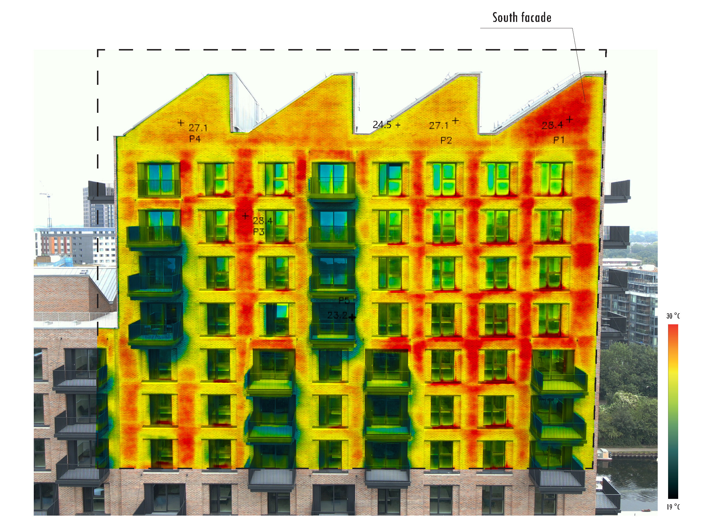
Façade inspections
Detecting thermal bridging is an easy task with thermography. Thanks to this technique we can also visualize areas with moisture or leaks and report its location.

Heat Island Effect and Roof inspections
Using drones we can assess visually the current state of a roof, and through thermal pictures, we can evaluate its heat absorption due to solar exposure as well as evaluate potential thermal bridges.
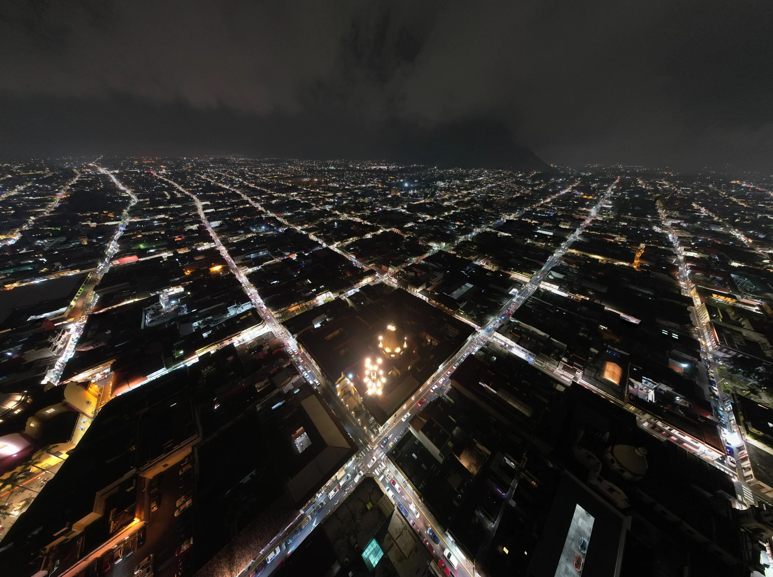
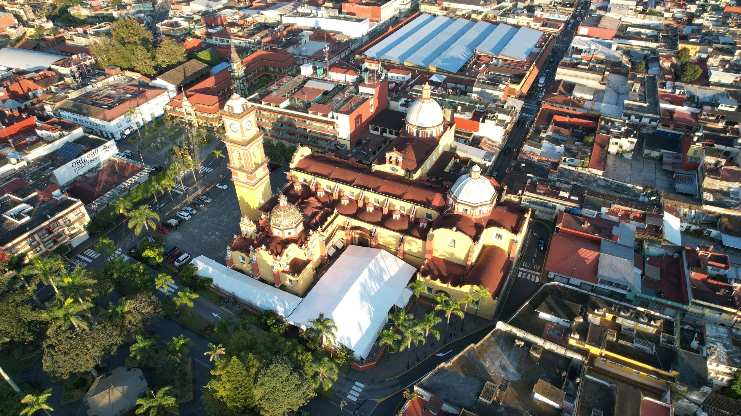
Aerial Photography
At W-LAb we are Certified Comercial Drone pilots
by the UK Civil Aviation Authority and the European Union Aviation Safety Agency.
We count on professional drones for photography and filming, and we can provide a wide range of services for image capture.