Environmental monitoring
With our W-LAB Drone mapping technologies, we can help environmental protection organizations companies with a cost-effective system to control regularly areas of special natural protection, We combine the 2D and 3D photogrammetry models to check the evolution of these locations and create GIS databases to keep track of different processes that could affect natural environments. Our outputs and workflows can be adapted to the specific needs of each project and landscape. Our services are flexible and can be shaped based on the demands of each situation. To know more please do not hesitate on contacting our team and we will be delighted to listen to you.
Vegetation and terrain 3D maps
We have different technologies available to allow monitoring landscape, erosion modifications or vegetation growth, We can measure green area, and help environmental protection organizations to keep track of degradation processes caused by natural phenomena or human action.
Computer vision to quantify elemenTs
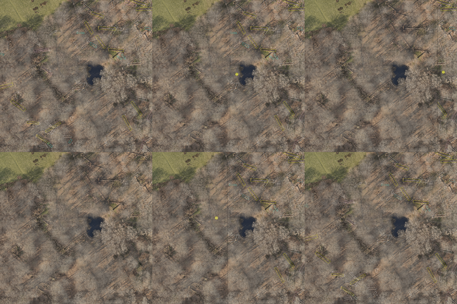
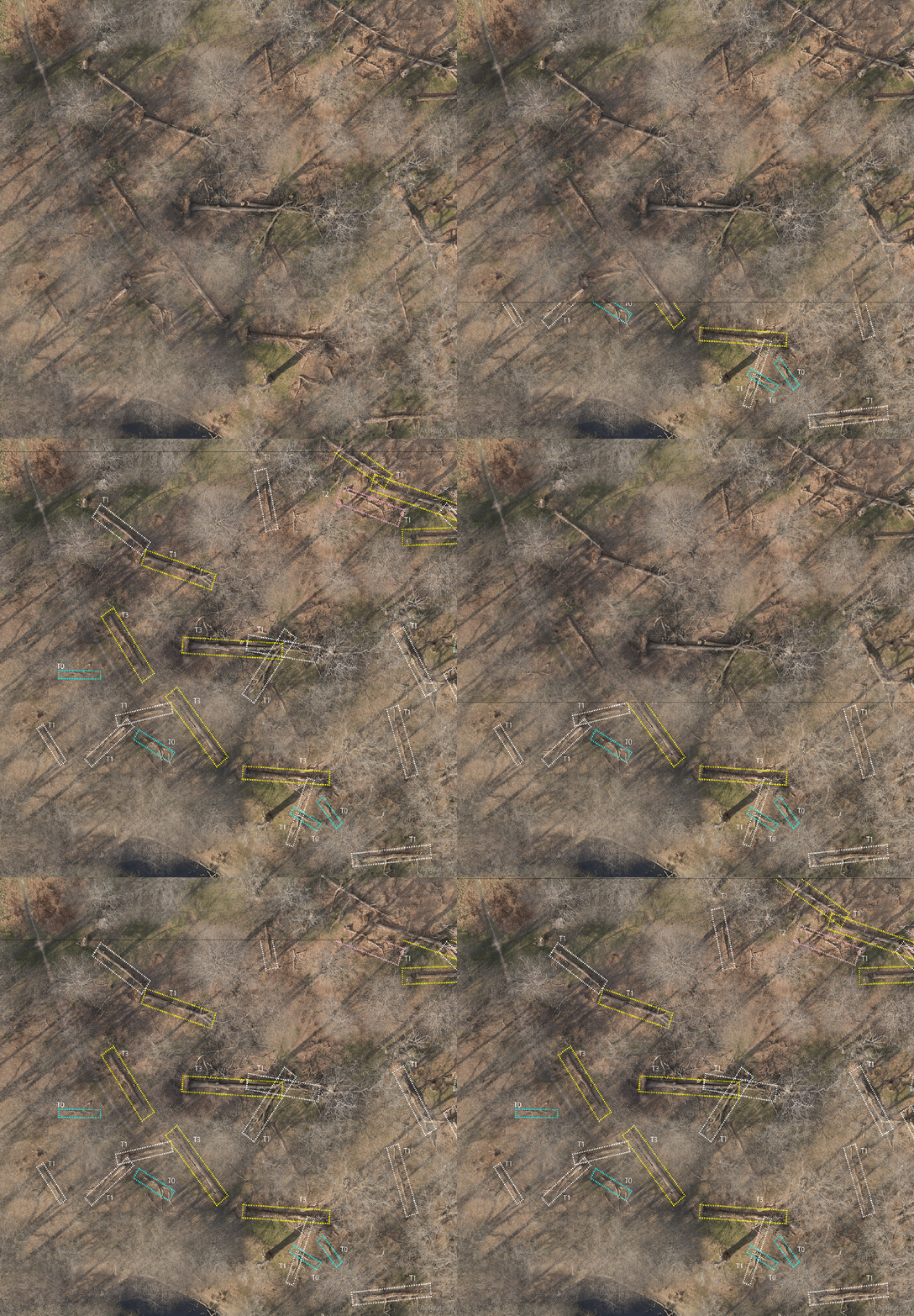
If we can see it on a map we can count it, and allocate it. Our computer vision algorithms can be trained to identify multiple elements helping environmental protection organizations to measure the area covered by vegetation or damaged by a catastrophic event, or even locating things like fallen trees after a storm. This allows us to provide useful data for other organizations in charge of planning recovery or action plans, that have no time to spare and needed information quickly.
The video above shows a quick demo of our process to capture imagery with a preprogrammed drone flight mission. We have different drones for different purposes and operations. Once we have collected the imagery, this is processed so we can generate a high-resolution orthophoto-map and then apply the computer vision algorithms to identify the objects we are looking for. For this specific project, the aim was to count fallen trees in a forest area at Richmond Park in London, after a severe storm event.


